UK Braces for Potential Last Snowfall of 2024 as Met Office Weighs In
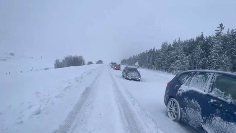
Share0As April unfolds, reports have surfaced about a possible final snowfall for 2024 hitting the UK early this week. According to WX Charts, using Met Desk data projections, areas like Fort William in Scotland, and cities including Glasgow, Dumfries, Carlisle, Manchester, Conwy, and Aberystwyth could see snow as early as Monday, April 15.
Despite these predictions, the Met Office’s latest forecasts have not confirmed any snowfall. Their outlook for Saturday night remains clear and cold, with no immediate signs of the white flurry. However, the WX Charts suggest that the snow might quickly turn to rain and sweep across much of the UK, including the Midlands and East Anglia, even reaching down to London and Hampshire.
As Sunday rolls in, the Met Office predicts a generally dry day with some sunny spells and potential showers in the far west, noting a cooler and breezier end to the day compared to recent weather. The outlook from Monday to Wednesday mentions sunny spells and blustery showers, with possibilities of hail and thunder. Conditions are expected to feel noticeably cooler.
The BBC’s weather forecast aligns with this, predicting heavy rain clearing by Monday morning, followed by a mixture of sunny spells and scattered showers, possibly wintry in northern and western hills. The weather will continue to be showery across many areas on Tuesday, with drier conditions in the southwest and a return of showers on Wednesday, including steadier rain and potential hill snow in the north.
This blend of forecasts paints a mixed picture for the UK as it transitions deeper into spring, with residents keeping a watchful eye on the skies for any signs of late-season snow.
