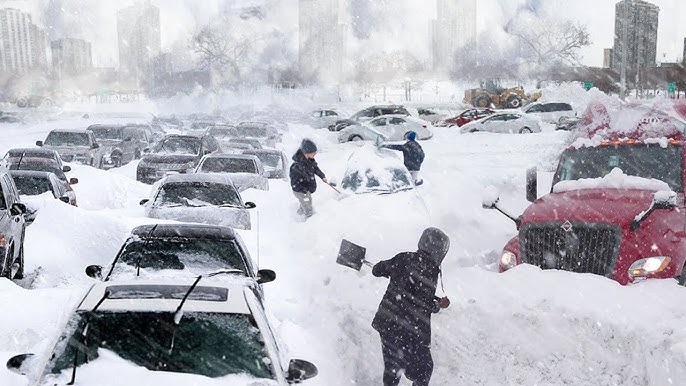
UK Braces for 42-hour Snowstorm – Major Cities to be Buried
A major winter blast is set to hit the UK, with several major cities bracing for heavy snowfall over a staggering 42-hour period. According to UK weather maps, parts of South England could see an extended wintry downpour, disrupting daily life and sending temperatures plummeting.
Weather charts from WXCHARTS, utilizing data from Metdesk, predict a wave of snow moving into the south of England on February 11, around midday. The maps show a dramatic spread of purple, a clear indicator of snowfall, blanketing cities such as Southampton, Brighton, and Bournemouth, reaching as far west as parts of Devon.
As the day progresses, the snowfall is expected to move further north, particularly impacting London and the east of England. Forecasts suggest that the snow could extend as far north as Norfolk by the end of February 11, making for a widespread winter event.
Will Your City Be Hit?
The cold snap doesn’t end there. February 12 is expected to bring another wave of snow, blanketing most of southern England once again. However, Plymouth may be lucky enough to escape the brunt of the snowfall, narrowly avoiding the wintry showers, according to projections.
By February 13, at around 6 AM, the snow is finally expected to ease, concluding what could be a relentless 42-hour period of winter weather chaos across the south of England.
Freezing Temperatures on the Horizon
Netweather’s latest maps paint an even bleaker picture, forecasting temperatures dropping as low as -3°C in parts of England during this period. Commuters and residents are urged to prepare for bitterly cold conditions, with frost and ice making roads and pathways treacherous.
What Does the Met Office Say?
The Met Office’s long-range forecast for February 6 – February 15 predicts generally settled conditions across the UK, with the south and east experiencing the driest weather. However, these seemingly calm conditions come with a hidden challenge: overnight frost and fog.
Meanwhile, air from the Atlantic could bring rainy conditions to the north and northwest, but colder temperatures could still develop across the entire country, increasing the likelihood of wintry showers.
Looking further ahead into the second half of February, the Met Office warns of below-average temperatures and frequent overnight frosts. While rainfall in the south and east is expected to be below average, it may increase heading into March, bringing a mix of cold and wet conditions.
Prepare for a Chilling February!
With snow, freezing temperatures, and prolonged wintery conditions on the way, UK residents should prepare for travel disruptions and icy conditions. Whether you’re in the south bracing for snowfall or in the north experiencing icy rain, winter is far from over!
Stay tuned for updates as the weather patterns develop, and brace yourself for what could be the most significant snowfall of the season!
