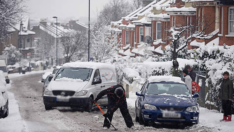
UK Braces for 3cm of Snow Per Hour Just Days after Hottest Day of the Year
Britain’s weather is about to pull a fast one. After basking in nearly 20C temperatures over the weekend, parts of the UK are now on track for an icy shock—forecasters say some areas could see snow falling at a staggering 3cm per hour within days.
Sunday’s sunshine had many feeling like spring had finally arrived, with warm spells triggering early blossoms and even some bees making an appearance. But don’t put the winter coats away just yet—meteorologists are now warning that a serious Arctic blast is set to hit, bringing a sharp drop in temperatures and widespread snowfall.
More: UK Set for 17C Heatwave Before Sudden Stratospheric Warming Brings Icy Blast
Weather charts from WXCharts suggest that heavy snow could blanket parts of the country by Wednesday. The Midlands is expected to be one of the hardest-hit areas, with intense flurries of up to 3cm an hour. Elsewhere, the northeast, Scottish Borders, North Wales, and northern Scotland are also bracing for wintry conditions.

Snow depth projections show that by the end of the day, some central areas could see accumulations of around 4cm (1.5in), while the Scottish Highlands could be looking at a much deeper 10cm (4in).
The Met Office is already warning that the mild spell is coming to an abrupt end, with a dramatic temperature drop arriving late Sunday. Forecasters say a new frontal system moving in will bring a “very different feel” to the weather this week.
More: UK Weather Warning: Heavy Rain Hits the North as the South Basks in Sunshine
Speaking to the Mirror, Deputy Chief Meteorologist Chris Bulmer explained: “A frontal zone will move south across the UK during Sunday night and Monday with much colder air following from the north. With these cold northeasterly winds, we are likely to see some wintry showers across the north and the east of the UK next week, but any accumulations of snow are likely to be largely restricted to hills.
“We’ll also see a return to overnight frosts in many areas. While there is uncertainty in the extent of rain and wintry showers through the middle of next week, there is higher confidence that below average temperatures will continue through the week, bringing a very different feel to the mild weather over the weekend.”
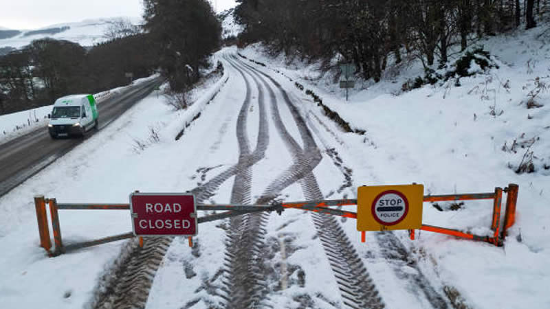
Meanwhile, Exacta Weather’s James Madden has warned of an “increased snow risk” starting as early as Monday morning, particularly affecting the far north, Scotland, and northeast England. By Tuesday, he predicts these snow showers could extend further south, potentially covering parts of the east, southwest, and even the southeast of England.
The cold snap looks set to last until the end of the week, with forecasters suggesting that high pressure could return, bringing slightly milder conditions. But after this dramatic weather U-turn, who knows what’s coming next?