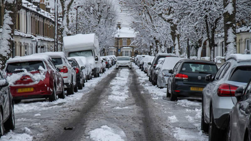
Brits Brace For Arctic Blast: Snow Set To Hit 13 Cities As Temperatures Plummet
The UK is in for another round of winter chaos as an Arctic blast sweeps in this week, sending temperatures plunging as low as -5C. Weather maps from WXCharts, which use Met Desk data, indicate that up to 13 cities could be blanketed in snow as we approach the end of January.
The latest forecast comes hot on the heels of storms Eowyn and Herminia, which recently battered the country with strong winds and relentless downpours. Now, a new low-pressure system is making its way in from the Atlantic, threatening fresh snowfall and heavy rain towards the end of the week.
Which Cities Will See Snow?
According to WXCharts’ latest data, the cities most likely to see snow include Bath, Birmingham, Bristol, Coventry, Exeter, Gloucester, Hereford, Manchester, Plymouth, Stoke-on-Trent, Wolverhampton, Worcester, and Cardiff. If predictions hold, these areas could wake up to a white January 30, with snowfall expected to start around 6am.
What the Experts Say
BBC Weather is forecasting a chilly but bright Thursday for much of the UK, with only a few wintry showers expected in Scotland and the Northern Isles. However, Friday looks set to bring a band of rain across the country, with clearer skies following behind. Saturday is expected to start dry and cloudy, but rain will creep in from the west as the day progresses.
Despite the looming Arctic chill, the Met Office is predicting a brief respite thanks to a high-pressure system. The agency reports that Thursday should be calmer and sunnier in most parts, although freezing fog patches could develop in the early morning.
Met Office Deputy Chief Meteorologist Chris Almond confirmed: “Most areas will be dry with sunny spells on Thursday, although there’s the risk of some freezing fog patches at first. Cloud, outbreaks of rain, and hill snow will spread to the northwest by the end of the day. Friday will see a cloudy day in the south, with some sunshine further north, before the next band of cloud and rain arrives in the northwest later.”
An additional Met Office spokesperson added: “After some early frost, mostly fine on Thursday with sunny intervals. Rain moving southeast on Friday with drier interludes on Saturday, although a continued risk of rain in the northwest.”
Looking Ahead: February Forecast
As we edge into February, the Met Office is keeping a close eye on potential wet and windy spells. From February 2-11, northern regions are expected to bear the brunt of unsettled weather, with heavy rain and strong winds likely. Meanwhile, the rest of the UK can expect drier conditions, though occasional rain showers aren’t entirely off the table.
For those hoping for a break from the freezing temperatures, the outlook is mixed. While overall temperatures should hover around the seasonal average, the Met Office warns of brief cold snaps in between weather systems, bringing a continued risk of frost and fog, particularly overnight.
So, if you’re in one of the 13 cities set for snow, it might be time to dig out your thermals and brace for a wintry wake-up call!